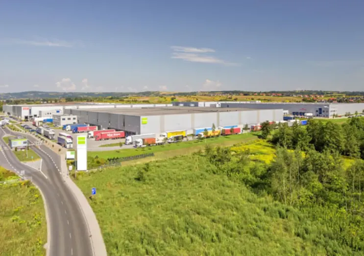
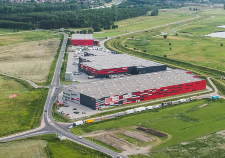
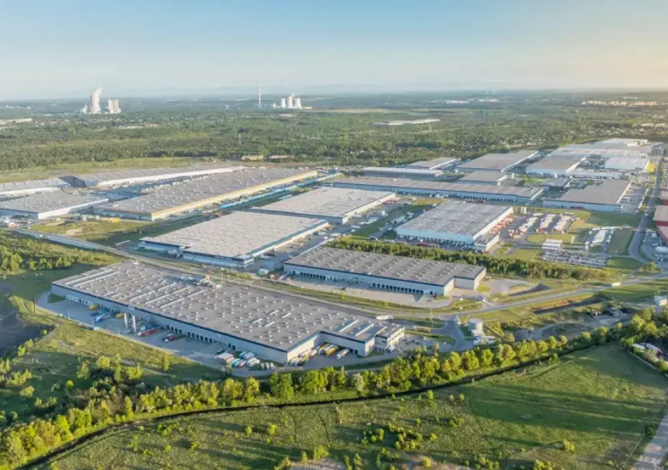
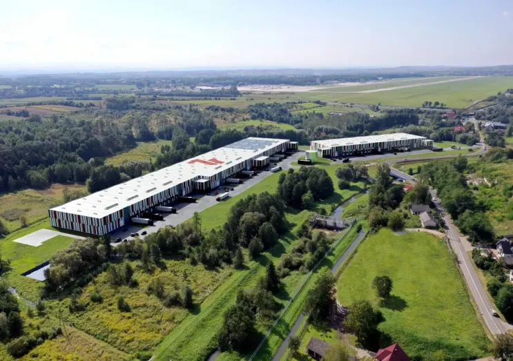
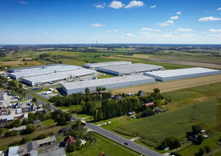
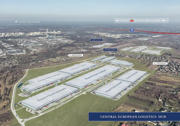
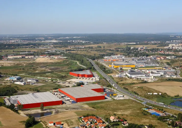
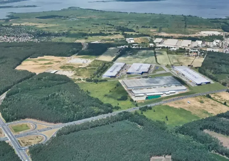
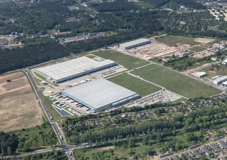
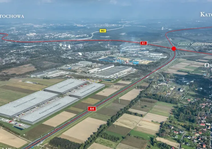
Cresa has updated its “Warehouse Map of Poland”. The publication presents the geographical locations of all developer-led industrial and warehouse facilities, existing motorway corridors as well as planned road infrastructure projects across Poland.
The map includes the core regions of Poland: the Warsaw conurbation which comprises of two zones, Central Poland, Upper and Lower Silesia, Krakow, Poznań, Tricity, Bydgoszcz, Toruń, Szczecin, Eastern Poland (Białystok, Lublin and Rzeszów) and Western Poland (the vicinity of Zielona Góra, Krosno Odrzańskie, Gorzów Wielkopolski, Bolesławiec, Zgorzelec, Słubice and Świebodzin).
“The experts of Cresa prepare and update the warehouse map on a cyclical basis. Every year new locations are unlocked as a result of improvements in road infrastructure. Monitoring and mapping road upgrades and also where new warehouses are being constructed allows for better logistics, supply chain and warehouse space planning,” says Tom Listowski, Partner, Head of Industrial and Warehouse, Central and Eastern Europe, Cresa.
“Expected global supply chain turbulences as a result of COVID-19 may cause a short-term fall in demand on strategic projects but we expect many short term requirements from retailers; however, occupier demand for warehouse and industrial space is expected to remain healthy in Poland for the foreseeable future with e-commerce being a major driver of demand. An increase in light manufacturing space requirements can also be expected in the medium term. Companies may decide to diversify their global production locations and set up new production and logistics functions within the CEE region, Poland included,” adds the expert.
“The Warehouse Map of Poland” published by Cresa is available in a printed version. To receive a copy, please e-mail us at: magazyny@cresa.com. We will deliver it at the earliest possible date.